History of San Pietro
It is one of the smallest hamlets of Sanremo. 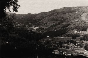 It is located in a valley closed behind the slopes of Monte Bignone and Colla Bella.
To the east it is bordered by the hill of Poggio Radino, at the foot of which is the historic village of Parà and borders the valley of Verezzo; to the west by the valley of the Rio San Francesco. 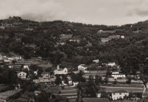 According to some authors, one of the first Christian rural chapels in the Sanremese district was built there, on the remains of which the present church dedicated to Saints Peter and Paul was erected, as it would appear from the deeds of the Bollandist fathers who in 1643 compiled a collection of documents and data of the Saints (Acta Sanctorum).
Nearby of the church rose the ancient nucleus of permanent dwellings, which still exists today, although many buildings have been drastically renovated and modernised.  The valley is crossed for its length by the San Lazzaro torrent and by some minor tributaries.
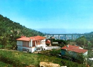 Already in the middle of the 19th century a primary school was opened there, which was initially located in a room next to the church, while in the 1970s a new school building was built, enlarged in 1985 by including a nursery school.
The prevailing activity in the past was agriculture, in particular olive groves, while later floriculture developed. 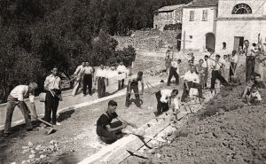 The construction of the Flower Highway at the end of the 1960s profoundly changed the environment and the landscape, involving, among other things, the displacement of the pre-existing municipal roads and triggering a vast landslide movement stopped with some difficulty at the price of a huge concrete structure to shore up the unsafe slope.
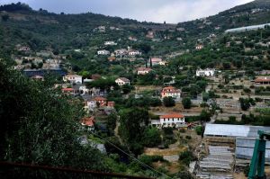 Considerable building development, although not always with positive results for the territory, in the last 50 years, especially by new families attracted by the tranquility of the valley, the fame of the school and the proximity to important health facilities.
(sources: text and images by Sergio Carbonetto)


